OBAKIR
June 8, 2017In order for any species to thrive, the area where it lives needs to be comfortable and safe.
OBAKIR recently completed a survey looking at the habitat in the Grande River, a major tributary of the Ouelle, to come up with a strategy to protect and restore the area and its most important habitats.
The Ouelle River spawning surve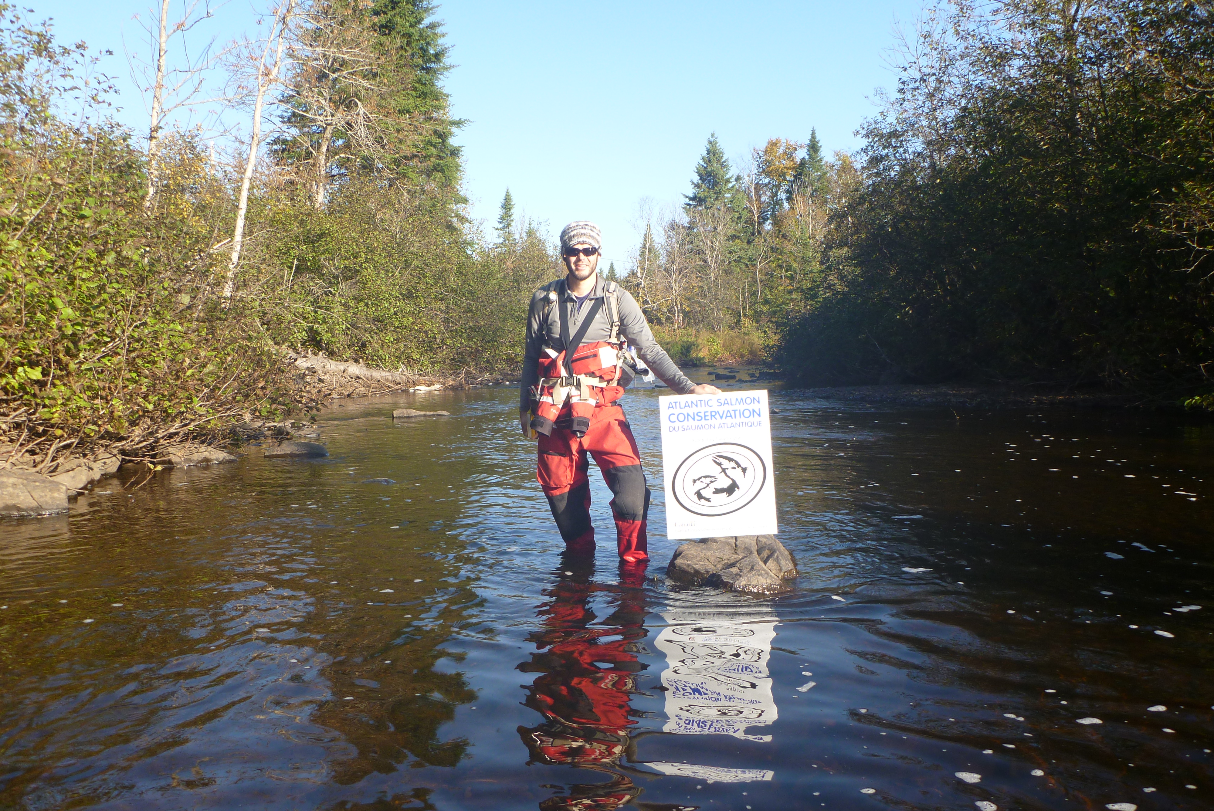 y project – possible thanks to $10,000 in grant funding from the Atlantic Salmon Conservation Foundation – is the result of a strategic plan for Atlantic salmon in the Ouelle River. The plan identifies key issues in the watershed and makes recommendations for conservation actions.
Since there is no counting fence in the Ouelle River, the number of redds, or spawning nests, are counted to provide an indication of the number of adult salmon. This type of salmon redd inventory was done in the 1990s by the Ministère des Forêts, de la Faune et des Parcs, when the river benefited from a stocking program.
OBAKIR’s 2016 project consisted of an assessment of the Grande River, which is known to have the most salmon spawning beds in the watershed. The survey was carried out on foot, from downstream to upstream. After careful analysis, the segments with favorable conditions for salmon reproduction were located.
During the survey, four beaver dams were discovered. Beaver dams can adversely affect salmon spawning, so it was decided that they would be breached. The gaps that were created allowed salmon to cross the areas and continue their migration to spawning sites. The flow of the river increased considerably as a result. The action was successful and salmon were observed in areas where they were previously absent.
For the redd inventory, 21 kilometres were surveyed, including 15.8 km in the Grande River and 5.2 km in the Ouelle River. The count was carried out by canoe, travelling from upstream to downstream. If necessary, in areas where the river was larger, the inventory was done on foot. Areas where redds were found were traveled twice.
Inventory reports from the 1990s were retrieved after the inventory was done in 2016. It was found that the methodology used was not the same and that the number of sectors inventoried was lower in 2016. The data collected in 2016, compared to that of 1990 and 1992, show that the Ouelle River is no longer as productive as it was at the time, although some areas were not visited.
It has therefore been recommended that the redd inventory be repeated in the same areas as in the 1990s, and on an annual or bi-annual basis, in order to have more than one year of recent data. Long-term monitoring will provide a better overview of the health of the resource.
The information gathered during the survey was mapped in a digital format (GIS) and will be transferred to Google Earth, to provide an interactive reference tool that will guide the protection and conservation he salmon spawning areas. It will also be used to create awareness among users and action plans with partners.
In 2017, OBAKIR are continuing their work on the Ouelle and Grande Rivers, thanks in part to a new grant of $14,000 from the ASCF. This new project will focus on the use of thermal refuges by parr and adult salmon. It will also draw on the tool recently developed by FQSA, with the support of ASCF, to help protect critical habitats for Atlantic salmon.